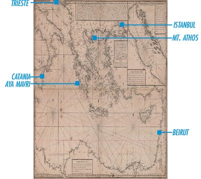
Kephalas. [Nautical map of the eastern Mediterranean], in Greek. Paris: Nikolaos Kefalas, 1818. 1 map. 97 x 66,5 cm. with 2 insets: Dardanelles hydrographic maps. This is the first chart to be constructed by the sea captain and adventurer Nikolaos Kephalas.
Between the 14th and early 17th centuries, portolan (or pilot-book) charts provided the main navigational aids between the seaports of the world. The term portolan (from the Italian 'portolano') refers to written sailing directions for seafarers. By networks of lines indicating the direction of one port from another, navigators were able to set their necessary courses. From such works, accumulated over generations, the first marine charts were drawn.

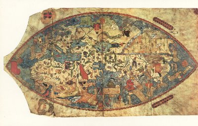
Genoese World Map (1457) [a portolano, or sea-chart, with scale bar]

No comments:
Post a Comment